C-MAP 4D Lakes NA-D074 South East [M-NA-D074-MS]
4D Lakes NA-D074 South East
C-MAP charts have long been held in high regard by boaters because they combine aesthetically pleasing vector electronic charts with reliable sources. When buying C-MAP boaters can be assured that the charts they are getting are of the highest standard.
C-Map 4D will provide boaters with charts packed additional features such as raster chart views or Satellite images* to maximize situational awareness.
Coverage Area:
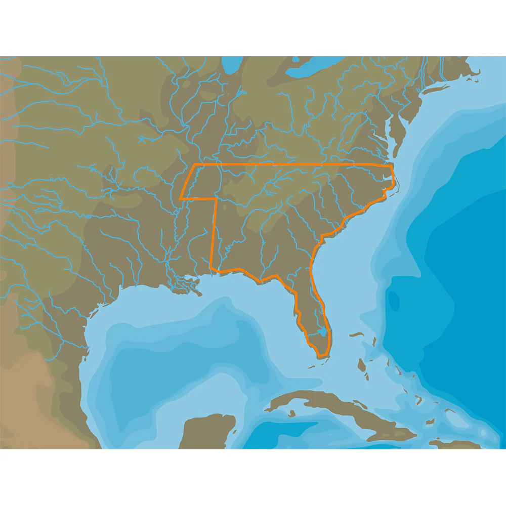
Lakes and major rivers of the South East area of the USA in the states of: Florida, Georgia, Alabama, Tennessee, South Carolina, North Carolina.
Specifications:
- Card Format: MicroSD/SD
- Box Dimensions: 1"H x 5"W x 8"L WT: 0.2 lbs
Original: $187.00
-70%$187.00
$56.10Product Information
Product Information
Shipping & Returns
Shipping & Returns
Description
4D Lakes NA-D074 South East
C-MAP charts have long been held in high regard by boaters because they combine aesthetically pleasing vector electronic charts with reliable sources. When buying C-MAP boaters can be assured that the charts they are getting are of the highest standard.
C-Map 4D will provide boaters with charts packed additional features such as raster chart views or Satellite images* to maximize situational awareness.
Coverage Area:
Lakes and major rivers of the South East area of the USA in the states of: Florida, Georgia, Alabama, Tennessee, South Carolina, North Carolina.
Specifications:
- Card Format: MicroSD/SD
- Box Dimensions: 1"H x 5"W x 8"L WT: 0.2 lbs